Note: Go to the home page or click the Hurricane Sandy tag for more recent posts.

Above: New York Governor Cuomo at a press conference this morning.
A quick update as of 1:45 p.m. today (Monday):
Summary
Hurricane Sandy is getting stronger and should make landfall late tonight (Monday).
The New York Times reports:
Hurricane Sandy churned through the Atlantic Ocean on Monday en route to what forecasters agreed would be a devastating landfall that is expected to paralyze life for millions of people in more than a half-dozen states in the Northeast, with widespread power failures, a halt in transportation systems and extensive evacuations.
The Wall Street Journal says:
Hurricane Sandy strengthened again late Monday morning, packing 90-mile-an-hour winds, and was expected to make landfall near the New Jersey-Delaware border Monday night, unleashing life-threatening storm surges along the Eastern Seaboard.
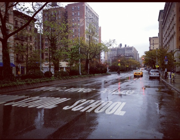
Here’s what Broadway near Columbia University looked like at about 1 p.m. today. It was windy and there was a light rain, and there weren’t many cars on the street.

New (to me) Map
![]()
The WSJ has a hurricane tracker map, seen above.
Other Stuff
- The WSJ also combines video and Tweets on this page.
- The Weather Channel’s live feed is available here.
- The National Hurricane Center has a helpful explainer on storm surges.
As I noted in my previous post, I’m maintaining a Hurricane Sandy NYC Twitter list. It has 16 members, and I’ll be updating it in the days ahead.
Reminder: For updates, you can follow me on Twitter: @newley.